Jabiru › Východ: Kerang - YKER -> East
![]() Jabiru, Austrálie
Jabiru, Austrálie
Real-Time Environment
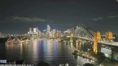
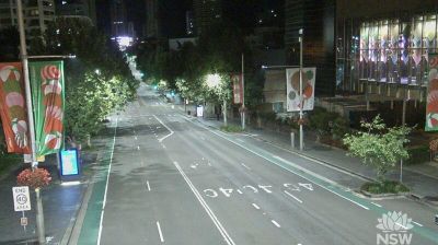
Welcome to the live streaming webcam for Jabiru › Východ: Kerang - YKER -> East, perfectly situated in the vibrant region of Jabiru, Austrálie. Watching this live camera allows you to instantly experience the local atmosphere and monitor current climate conditions.

About Jabiru
Jabiru je město ležící v australském Severním teritoriu na silnici Arnhem Highway. Městečko je situováno do národního parku Kakadu, několik kilometrů východně od ústředí parku. Původní osada byla založena díky uranovým dolům, ještě před vznikem národního parku. Téměř polovinu obyvatel tvoří horníci a zaměstnanci parku.
📖 Read more on Wikipedia📍 Location Facts
-
Country
 Austrálie
- Region Severní teritorium
- City Jabiru
- Coordinates -35.7519°N, 143.9376°E
Have you been to Jabiru?
Help the community! Share your experience, tell us about the weather, or upload your own photos from this exact location.